How to Use the Distance Calculator Tool
Please note: We just updated this tool into one icon. The instructions are the same, you just click on the tool and then choose which one you want to use. Please be patient while we update our tutorial.
**************************************************************************************
Using the Distance Calculator in Maptive is incredibly easy. Just follow the steps outlined in this tutorial.
To begin, there are 2 ways you can measure distance:
1. The Continuous Distance Calculator - measure the distance between more than two points on your map.
2. The Individual Distance Calculator - measure the distance between two points on your map.

To use the Continuous Distance Calculator Tool, follow these steps:
Step 1: Select the Continuous Distance Calculator icon (marked #1 in the visual above).
Step 2: Click the first location marker on your map, then continue clicking additional points on your map.
Step 3: Stop your measurement by clicking the Continuous Distance Calculator icon. You will then have access to your cursor arrow again, and can see the distances measured between each point you marked. You can delete the dotted line by clicking the x at the end of the distance line you created.

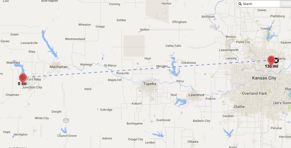
To use the Individual Distance Calculator Tool, follow these steps:
Step 1: Select the Individual Distance Calculator icon (marked #2 in the visual above).
Step 2: Click the first location marker on your map, then click the second point on your map. Your measurement will stop at this point. You will then have access to your cursor arrow again, and can see the distances measured between the two points you marked. You can delete the dotted line by clicking the x at the end of the distance line you created.